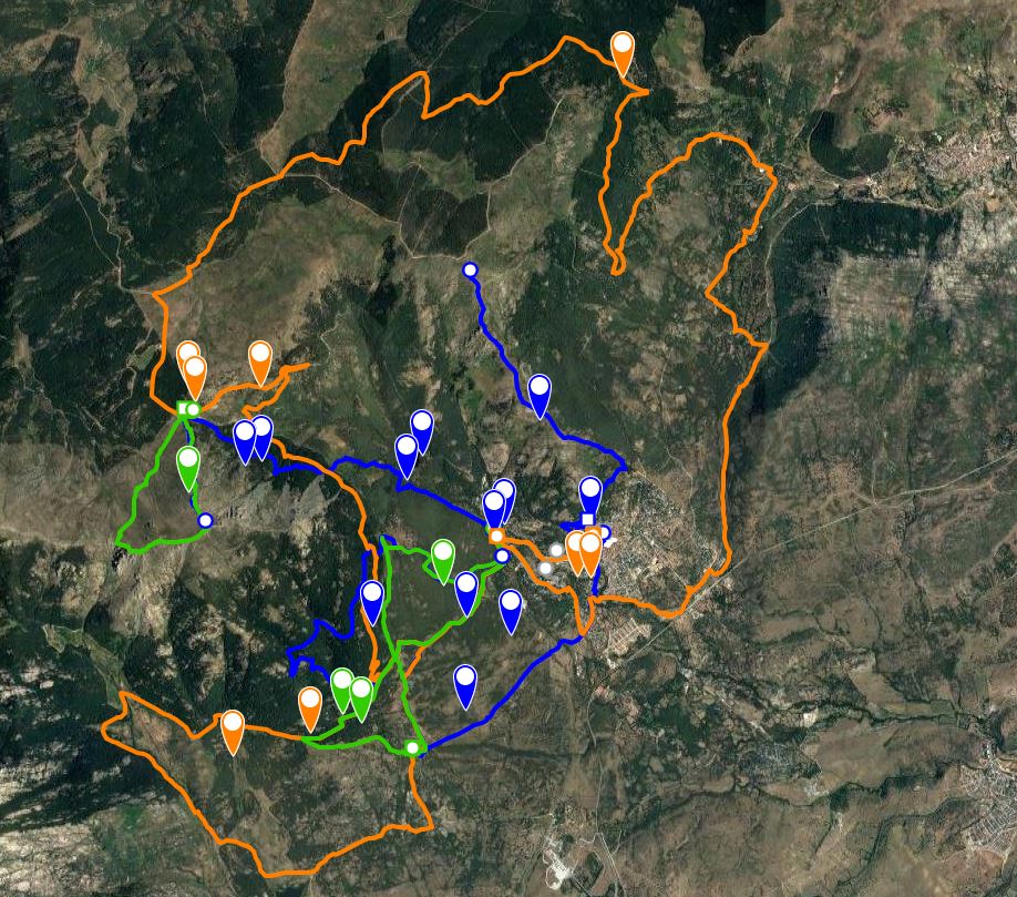
")

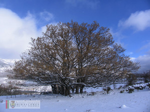
San Blas Shrine
Distance: 7,83 km
Time: 3 hrs
Difficulty: Low
Descent: 217 m
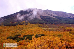
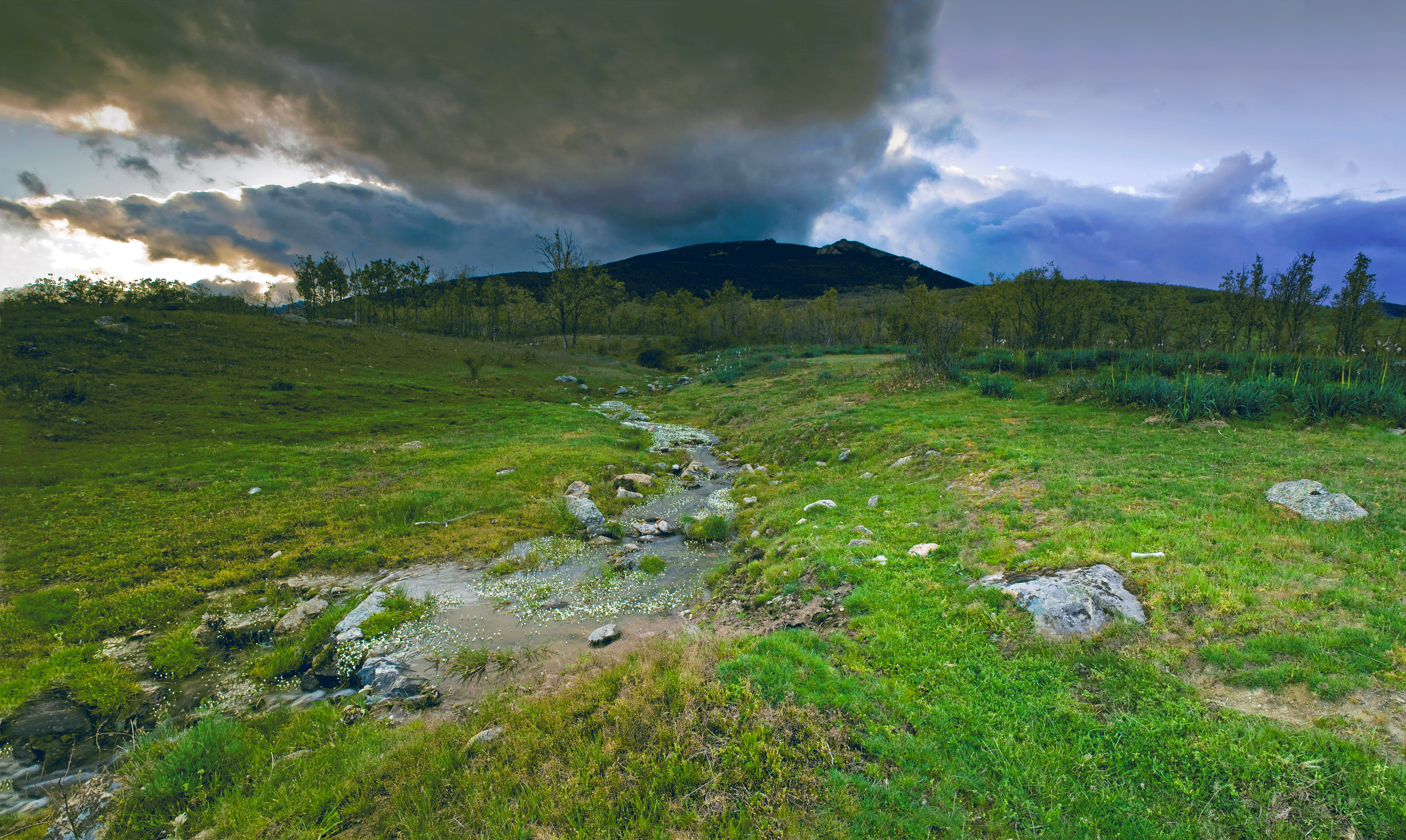
The route begins in the Fuente del Cura recreation area where we take the same path as the SL 02 for the first 1,900 m until we reach the Muñequilla viewpoint. Go left at the fork and walk downhill for 1,700 m along the forest track until you reach the shrine of San Blas. Here you can admire the wonderfulrugged mountain views of the Hueco of San Blas to the northeast.
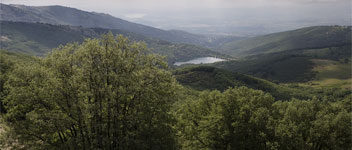
Walk backdown for 2,600m along the track on the left which passes between fields of grazing cattle and municipal grasslands,and where there are many examples of the melojo oak tree. When you reach the road which runs from Miraflores to Soto del Real, cross over and continue walking along the drove road called the Cañada Real Segoviana. Crossthe Miraflores to Guadalix road, and carry on down the track until you reach the bridge over the Miraflores river where you can see the ruins of an old mill on your left. A few metres further on, walk up the street on the left which will take you up to the town centre.